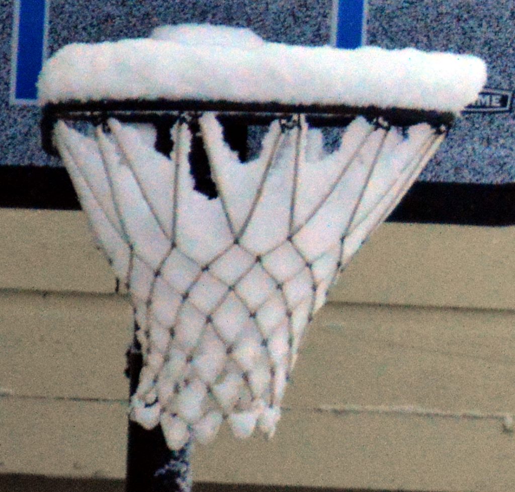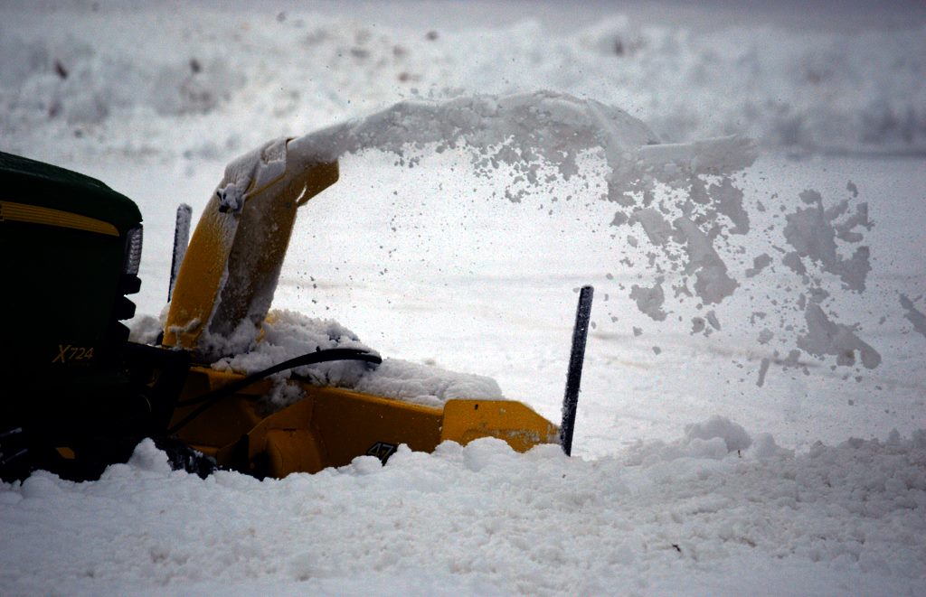
Yes, yes . . . it snowed
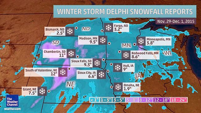
Winter Storm Delphi – so named by The Weather Channel (TWC) – dumped up to nine inches of wet, heavy snow in parts of southwest Minnesota, eastern South Dakota and northwest Iowa on Monday, November 29 to Tuesday, December 1. (The decision to name or not name a storm by TWC is held by a committee of meteorologists. These include Tim Niziol, winter weather expert; Stu Ostro, senior meteorologist and senior director for Weather Communications and Jonathan Erdman, digital/senior meteorologist for weather.com. The trio bases their decision on a thorough discussion of meteorological and societal factors that could produce a winter storm.)
Area schools released students early on Monday, and started the school day late on Tuesday, Decembers 1.
Parts of southeast South Dakota, northeast Nebraska and northern Iowa just finished digging out from Winter Storm Bella, which dropped up to 18 inches of snow near Sioux Falls, South Dakota on Friday, November 20. The combination of Delphi and Bella pushed Sioux Falls to its fourth snowiest November on record, with 17.3 inches of snow. This is already more than half of the snow that fell all of last season (31.9 inches) and is snowier than that area’s 2011-2012 season (15.9 inches).
Minneapolis/St. Paul picked up its first measurable snowfall of the season on Thanksgiving Day (Thursday, November 26), the Twin Cities’ seventh latest “first snow” of the season on record.
Two people were killed on snow-covered Minnesota roads during Winter Storm Delphi. One of the fatal crashes occurred on Highway #42 south of Elgin, while the other was in Eden Prairie just before 8:30 p.m. Monday night. In all, the Minnesota State Patrol reported nearly 400 crashes and spinouts on state roads from midnight to 9 p.m. on Monday. More than 250 crashes and spinouts occurred in the Twin Cities of Minneapolis and St. Paul on Monday morning alone.
The wet, heavy snow can be attributed to the El Niño weather pattern currently affecting the Midwest. Todd Heitkamp of the NWS-Sioux Falls, said the El Niño has nothing to do with snowfall amounts. “People have been asking me, ‘Where is the El Niño?’ Well, the El Niño is here,” he said. “In previous years, when we’ve had winter storms, we’d always get the cold, arctic air behind it. The past two storm systems that we’ve had, we’ve had no arctic air coming in behind it.”
The Minnesota Department of Transportation (MnDOT) has this advice for motorists when dealing with snowfall and reduced visibility:
+ Check road conditions at www.511mn.org or call 511; it takes time to get roads back to good driving conditions.
+ Slow down to a safe speed for current conditions. Snowplows typically move at slower speeds.
+ Use headlights.
+ Be patient and remember snowplows are working to improve road conditions for everyone.
+ Stay back at least five car lengths behind the plow, far from the snow cloud. Snowplow operators will pull over when it is safe to do so to allow traffic build-up to pass.
+ Stay alert for snowplows that turn or exit frequently and often with little warning. They may also travel over the centerlines or partially in traffic to further improve road conditions.
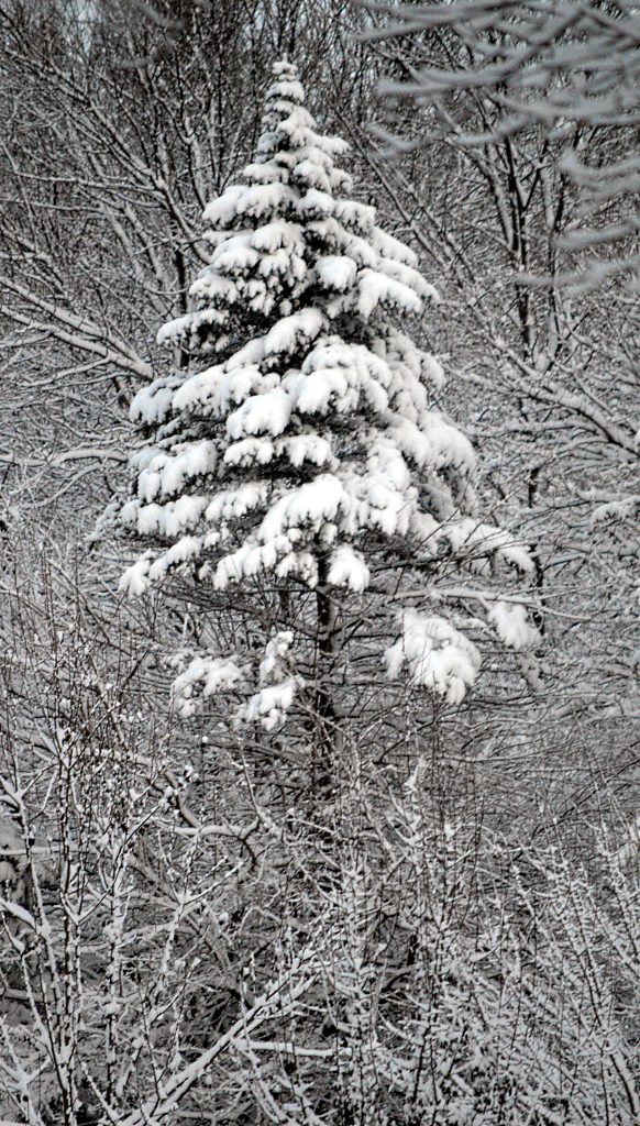
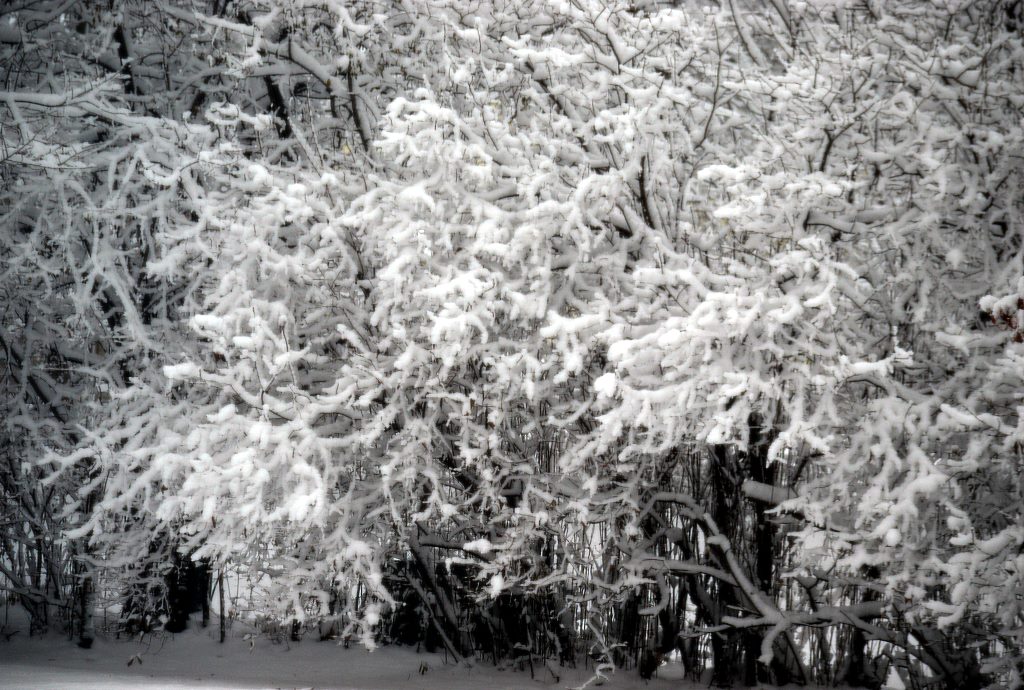
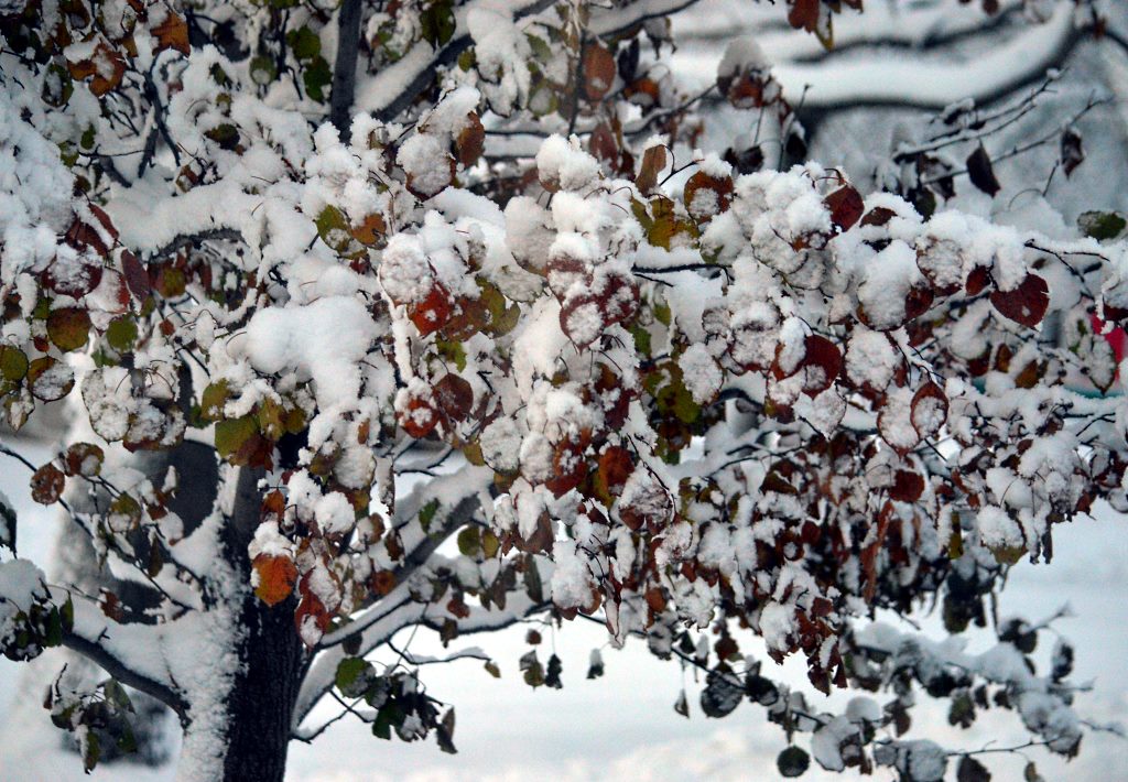
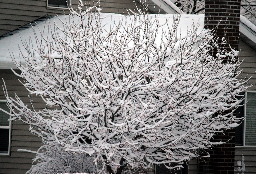
To cover this snow event, I decided to snap shots of Delphi’s dump as I saw it looking out through the windows of our home,
So, here they are: