


SPC now uses revised, expanded severe weather risk categories
It is no April Fool’s Day joke – but as the tornado sirens were tested today (Wednesday, April 1) it is important to note the changes made by the Storm Prediction Center (SPC), an arm of the National Weather Service responsible for issuing all severe thunderstorm and tornado watches and warnings – as well as refresh knowledge about the differences between a watch and a warning.
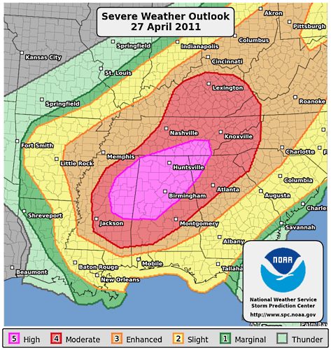
Last October, the SPC presented the revised and expanded severe weather risk categories it will now utilize for its outlook.
The previous four categories – in order – were:
* General Thunderstorms.
* Slight (SLGT)
* Moderate (MDT)
* High (HIGH)
There are now five categories of risk – with the former General Thunderstorms category defined as “Marginal” to denote areas with a 5% probability of severe weather. The upper end of the “Slight Risk” category is renamed “Enhanced” (short for “Enhanced Slight”) to denote a threshold 30% probability of severe wind or hail and/or a 10% chance of a tornado during the Day 1 period. For Days 2 and 3, the “Enhanced” risk category denotes a 30% total severe probability. The Moderate and High risk thresholds remain essentially unchanged.and the addition of an “Enhanced” category.
In order, the categories are:
* Marginal (MRGL)
* Slight (SLGT)
* Enhanced (ENH)
* Moderate (MDT)
* High (HIGH)
‘Watch’ or ‘Warning’
The National Weather Service uses the words “watches” and “warnings” to alert you to potentially dangerous weather. Knowing the difference between the two can be a life saver.
Weather watches
A watch means conditions are right for dangerous weather. In other words, a “watch” means watch out for what the weather could do, be ready to act.
* For events that come and go quickly, such as severe thunderstorms, tornadoes or flash floods, a watch means that the odds are good for the dangerous weather, but it’s not yet happening.
* For longer-lived events, such as hurricanes or winter storms, a watch means that the storm isn’t an immediate threat.
* For either kind of event, a watch means you should keep up with the weather and be ready to act.
When a severe thunderstorm, tornado or flash flood watch is in effect, it means you should watch the sky for signs of dangerous weather. Sometimes a severe thunderstorm, a tornado or a flash flood happens so quickly that warnings can’t be issued in time. Many areas don’t have civil-defense sirens or other warning methods. People who live near streams that quickly reach flood levels should be ready to flee at the first signs of a flash flood.
Weather warnings
A warning means that the dangerous weather is threatening the area.
For severe thunderstorms, tornadoes and flash floods, a warning means the event is occurring. Since tornadoes are small – a half-mile wide tornado is considered huge – a tornado will miss many more buildings that it hits in the area warned.
Still, a tornado warning means be ready to take shelter immediately if there are any indications a tornado is approaching. Severe thunderstorms are larger, maybe 10 or 15 miles across.
* The Storm Prediction Center sends out alerts the day before dangerous weather is likely.
This National Weather Service page has information on weather radio, including a list of weather radio stations in each state.